Yesterday Lesley and I went to Hampden Park in Glasgow to see AC/DC. It was the final concert in the European leg of their Black Ice tour, and it was an absolutely amazing show, much better than the Iron Maiden concert Lesley and I saw at Twickenham stadium last year.
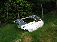
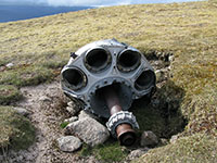
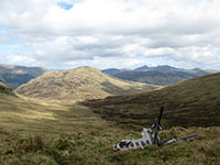
Last weekend I climbed Ben More near Crianlarich. This mountain is very high (1174m), and is an unrelentingly steep pyramid all the way to the top. I climbed it by its unfrequented northern flank. I was climbing it for 2 reasons – firstly to look for any remains of an RAF Wessex helicopter that crushed near the summit during a rescue operation in 1987, and secondly to investigate the Cuidhe Chrom snowpatch.
Two weeks ago I went for a walk in the Mounth area and my route (the first 5km of which I cycled) took me along Jock’s road in Glen Callater and across the Munro summits of Tolmount and Carn an t-Sagairt Mor.
Yesterday I ran the Edinburgh Marathon, you can see the results here. One of the good things about these results is that they give split timings at the 10k and half-marathon distances as well as the full marathon. My split timings pretty much tell the story of my race: 58 mins 16 sec for the 10k distance (faster than the Glasgow 10k race I did in September 2007) and 2 hrs 15 mins for the half-marathon distance (not too far behind my time for the Glasgow half-marathon I did in September 2008). These are all great times for me, and I felt really good whilst running. Then it all turned in to a bit of a nightmare.
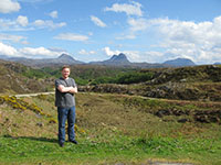
The weekend before last, Lesley and I travelled to the north-west of Scotland. We spent the first night in Plockton, and I had excellent langoustines and venison pie for dinner in the Plockton Inn. The next day we drove up to Assynt and went for short walks near Clachtoll and Achmelvich beach. The second night of the trip we stayed in Lochinver which is a working fishing village but is also a tourist destination set in the incredible scenery of Assynt – the domed peak of Suilven was visible from our B&B room window (as was the International Space Station later in the evening!). We had more great food for dinner in the Lochinver Larder (the pies are recommended by Michael Winner but that shouldn’t put anyone off).
Last weekend I was walking in the northern Trossachs near Balquhidder. I walked up to a 771m Corbett summit, Beinn Stacath. This hill is unnamed on the OS 1:50000 map, but has in the past been referred to as Stob Fear-tomhais and Ceann na Baintighearna and it now seems that Beinn Stacath is the agreed name.
Mount Everest, right?
However, this is not as simple as it looks. It turns out, upon closer examination of this question, that there are at least six other mountain peaks with claims to that title: Read more »
A couple of weekends ago I travelled north to do some walking in Glen Strathfarrar with Simon, a fellow hillwalker from near Nairn. Glen Strathfarrar is only 30 minutes drive from Inverness, but is quite unknown, even amongst hillwalkers. This is probably because it’s not very accessible, as the only road that runs through it is private, and only open to motor vehicles at certain times of the year, and then only during the day (at other times the road is blocked by a locked gate).
A couple of weekends ago I went to Glen Clova and walked along the tops on the east side of the Glen. I walked along the high plateau along the edges of Loch Brandy and Loch Warral towards Ben Tirran (the actual summit of which is a point at an elevation of 896m called the Goet). This a great mountain route with some great views of Glen Clova, Lochnagar and Mount Keen, and is proof that you don’t need Munro summits to make an excellent high-level walk in the Scottish Highlands.
A few years ago I wrote a long article about using GPS receivers when hillwalking and my eventual purchase of a Garmin GPSMAP 60C (see the article here). I mentioned in the article that the ‘holy grail’ for a hillwalker like myself, or indeed any person in the UK who spends time outdoors, was a GPS receiver that was rugged and waterproof, had all the technical specifications required, and had a graphical display showing OS maps.


